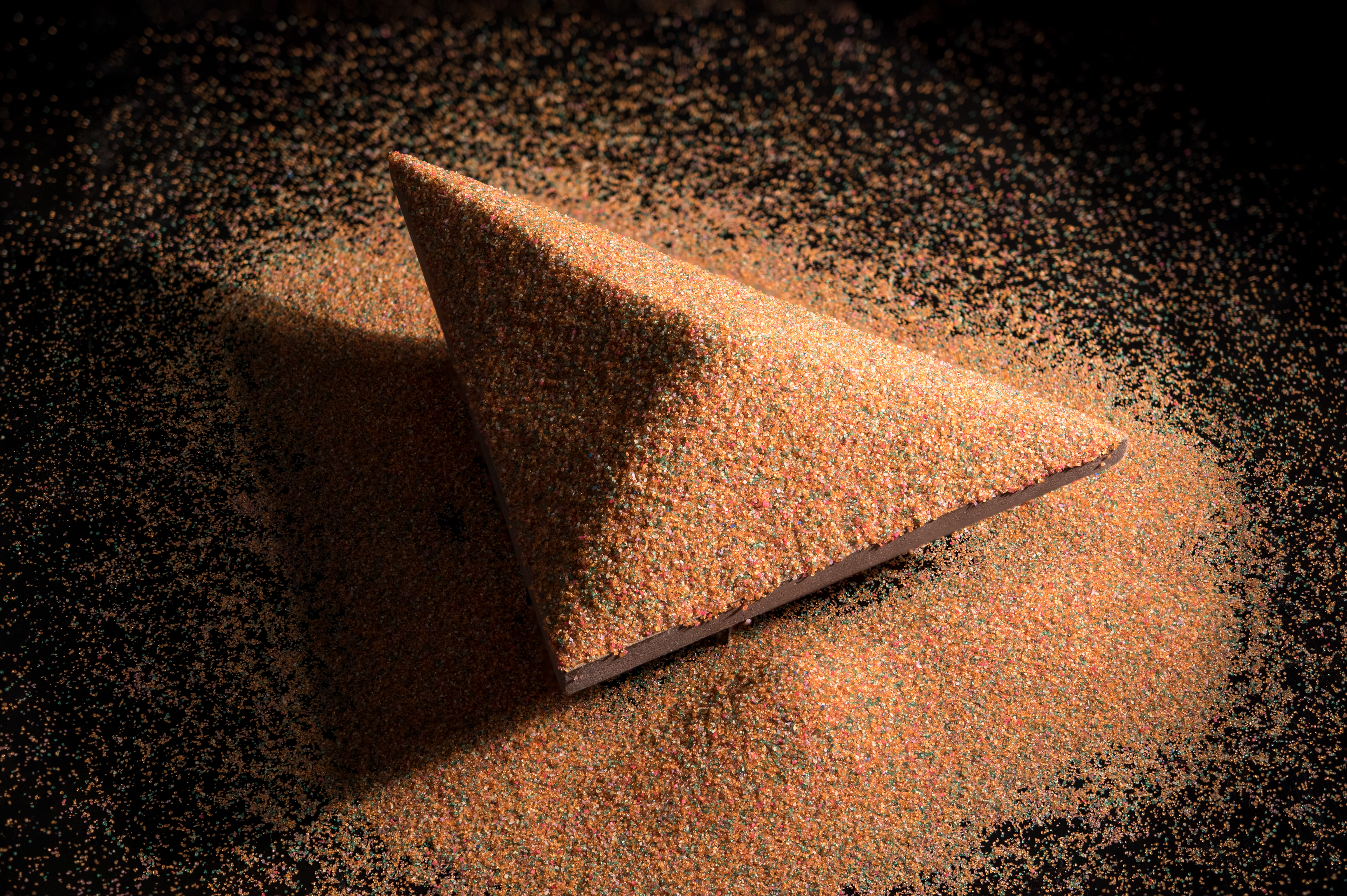
SANDPILES

When we pour sand over the plate until any further addition causes landslides, we are left with a mountain with a constant slope. This slope is the maximum that that sand supports.

What shape do you think the mountain takes when the plate is a disk? Or when is a square? And a rectangle? Two of these plates are in the next images!

Image: Rodrigo Tetsuo Argenton.

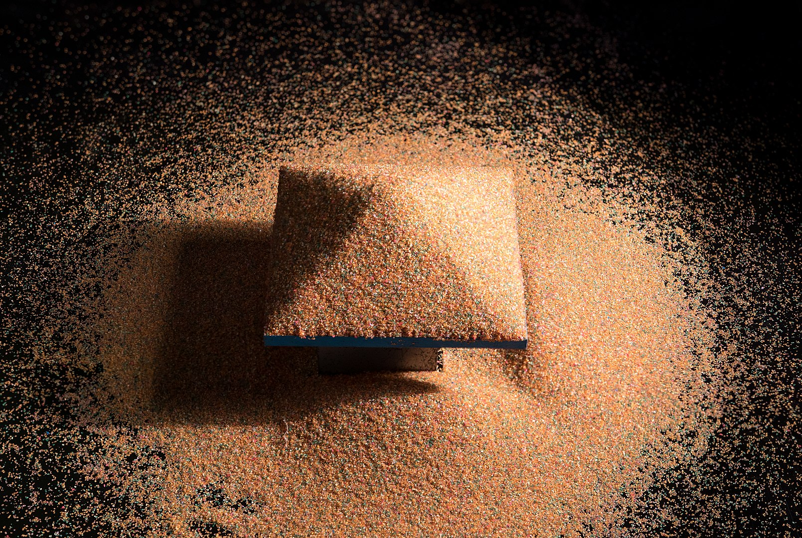
The height of the mountain above a point on the plate indicates how far that point is from the edge. The highest point of the mountain, therefore, projects over the so-called geographic center, which is the furthest point from the border.

In the case of a triangle, this point is the incenter, which is the meeting of the bisectors (or the center of the inscribed circle), as you can see in the image to the side.

The ridge of the mountain projects over what is called the “skeleton” of the plate. This skeleton has applications, for example, in the area of Computer Vision.

Image: Rodrigo Tetsuo Argenton.

Below are two videos that show the "sandpile" actually being formed on two slightly different plates. Try to think before watching the video on how you imagine it would look and see if the result was as expected!

Video: Rodrigo Tetsuo Argenton.

This RPM's (Mathematics Teacher Magazine) article talks about the mathematics present in the study of sand mountains, explaining some concepts that are related to this theme, such as the mountain saturation and the skeleton of a certain region, on which a detailed demonstration is made for a certain case, leaving the invitation to be performed on other polygons.

This Institute of Mathematics, Statistics and Scientific Computing at Unicamp's page explains how this experiment can be carried out in a classroom, applying basic concepts of plane and spatial geometry from the construction of sand mountains. This M3 Matemática Multimídia channel video - the so-called Unicamp platform - explains in more detail how the class should be given.

Of course, this experiment is very reminiscent of real-life dune formation. This Wikipedia page talks a little about dunes in general, explaining the different types and how they interact with each other, as well as exposing how they are formed. Furthermore, this other Wikipedia page talks more specifically about Barchan dunes, which have a surprisingly convex shape!

Finally, this Wikipedia page talks about the geographic center, explaining what it is and how to determine it, in addition to talking about the geographic center of some countries and regions. About Brazil, it is said that, although the historical landmark is Palmas, it is not the geographic one. In 1958, the Villas-Boas's brothers made an expedition to demarcate the true geographic center.